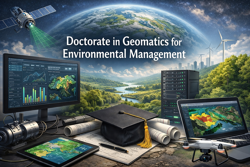
Doctorate in Geomatics for Environmental Management
This doctorate study program is a 100% research-based academic pathway designed for advanced scholars and professionals seeking to lead innovation at the intersection of geomatics technologies and environmental management. Positioned at a study level equal to EQF Level 8 and aligned with the Third European Cycle, the program emphasizes original research, scientific contribution, and strategic environmental problem-solving supported by advanced geospatial methodologies.
Structured around seven comprehensive modules, the program ensures rigorous academic and research development. Four modules are dedicated to advanced research design, quantitative and qualitative methodologies, scientific publishing, and high-level analytical frameworks. Two general modules strengthen interdisciplinary thinking, academic leadership, ethics, and policy-oriented research competencies. One specialized module focuses specifically on Geomatics for Environmental Management, exploring advanced spatial modeling, geospatial intelligence, environmental monitoring systems, and sustainability-driven decision frameworks.
The academic journey culminates in a substantial thesis and structured research activities, demonstrating the candidate’s capacity to generate original knowledge, design innovative solutions, and contribute meaningfully to global environmental discourse.
Participants engage deeply with advanced Geographic Information Systems (GIS), remote sensing technologies, spatial data science, environmental impact modeling, climate risk mapping, ecosystem monitoring, and geospatial decision-support systems. The program develops expertise in integrating large-scale environmental datasets with policy, sustainability strategy, and resource management frameworks. Research may address climate change adaptation, land-use optimization, biodiversity conservation, water systems analysis, smart cities, and sustainable territorial planning.
The minimum duration of the program is 18 months, with academic flexibility that allows candidates to extend their research timeline when necessary. The structure supports independent scholarly development while maintaining high academic standards consistent with doctoral-level research expectations.
This doctorate study program is designed for researchers, policymakers, environmental strategists, and geomatics professionals who aim to contribute at the highest academic and strategic levels within environmental governance, sustainability science, and geospatial innovation.